Local History
Tom's Shop
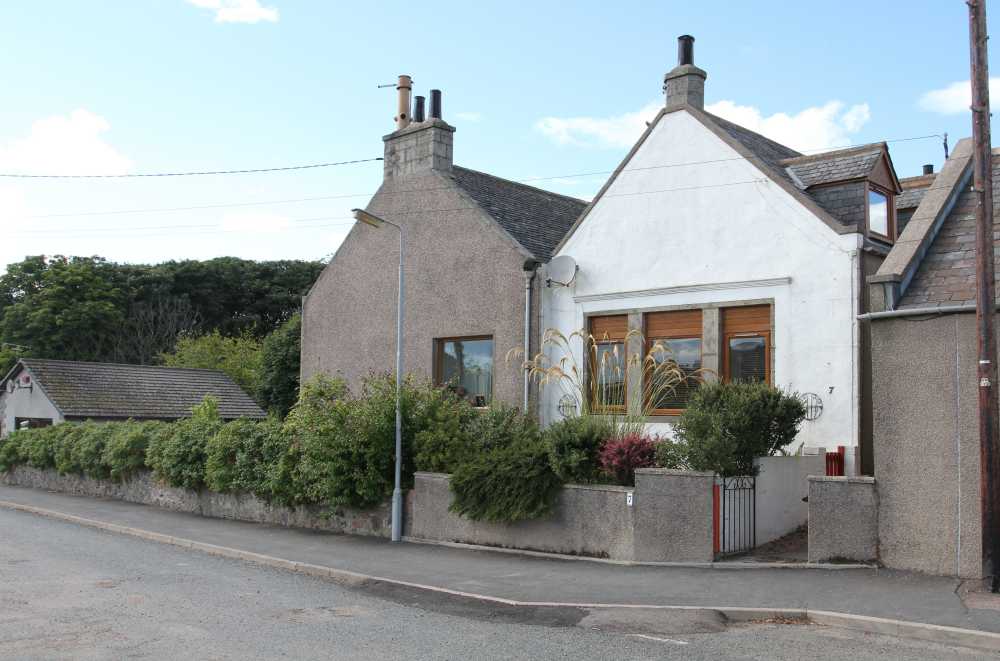
The old shop in Hatton closed down over 15 years ago and is now a residential house. The original building is now 3 separate plots, owned by 3 families.
The shop and adjoining house were built in 1890 for the value of £400, the ground having been bought by J Duguid from a G Marr.
Latterly, before the shop closed down, it was owned by Tom and was called locally ‘Tom’s Shop’. The brae at the back of the house was also locally called ‘Tom’s Brae’.
The current owners of what was the shop have been told many stories about the shop, for example, that there used to be a number of small shops on the site, that possibly one of the small outbuildings was the original bakers, that the house and its neighbouring house were a piano makers house and workshop and that it is haunted (although they have never seen any ghosts).
The building where the shop was located still has a ledge. If you look carefully above the current 3 windows you can see a mark which may have been where there was an awning for over the front door of the shop. The front garden has been laid on what was the original steps up into the shop. The concrete steps still lie beneath the soil.
Linda Alves
After the above articple appeared in the Autumn 2013 edition of the HARA Newsletter Brian Hay wrote in giving more information:
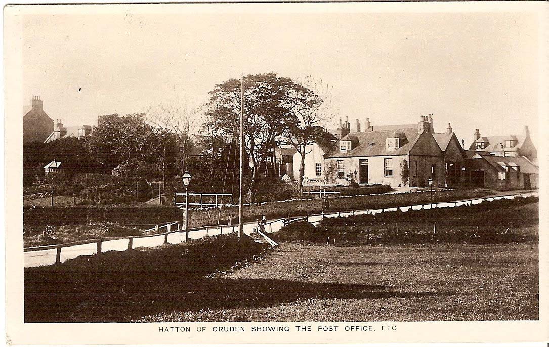
This house used to be Thompsons Shop, a general merchant for many years, run by Tom Melvin, yes we did used to have two shops. The house on the corner of Hatton Farm Road was for many years the Post Office ably run by Hilda Shepherd. The white house to the rear of Glenavon was the original Simmers bakery and when I owned it, still had the old coke oven in place, the oven door being situated in the gable end of the white building to the rear of Glenavon, the actual oven having been removed, later, to create a parking area !!
Trig Pillar
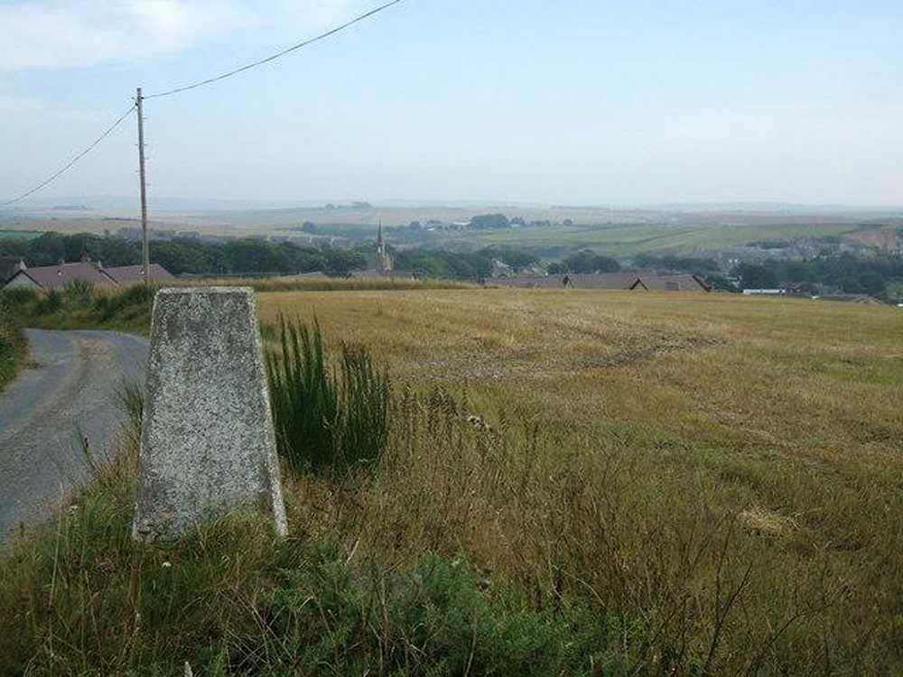
Trig Pillar is short for triangulation pillar. This one is situated just outside Hatton Village at Hobshill.There were 6,500 of them built across Great Britain. Around 5,500 are still standing. Cold Ashby in Northamtonshiremarks the spot as the first one used for the retriangulation of Great Britain starting on 18 April 1936 and finished in 1962. These are usually concrete or stone pillars placed at intervals around the country. They were used for map survey purposes and usually constructed by the Ordnance Survey, but are no longer required due to advancements in satellite surveys. The pillars were placed so as to be in sight of each other, so are on many hills and mountains where they are useful landmarks. [More information in the Ordnance Survey Website]
Hatton was originally know as the Free Kirkton of Cruden and developed after the founding of the Cruden Free Church in 1844.
Kirkton was the name given to a village in which the parish church is erected, ‘kirk-town’.